Farmcote Mill Ruins
Last updated 22nd July 2026. Image gallery below.Not much is known about the mill ruins that lie nestled in the bottom of the valley here in Farmcote; it’s absent from early maps, and predates the often reliable source that is the intergenerational continuity of community memory and knowledge. Heavily overgrown and hidden from public view, the ruins have long-evaded the curiosity of walkers, with locals simply referring to it as ‘the old mill’. I’ve been in a unique position to properly investigate this site, and hopefully unearth its story.
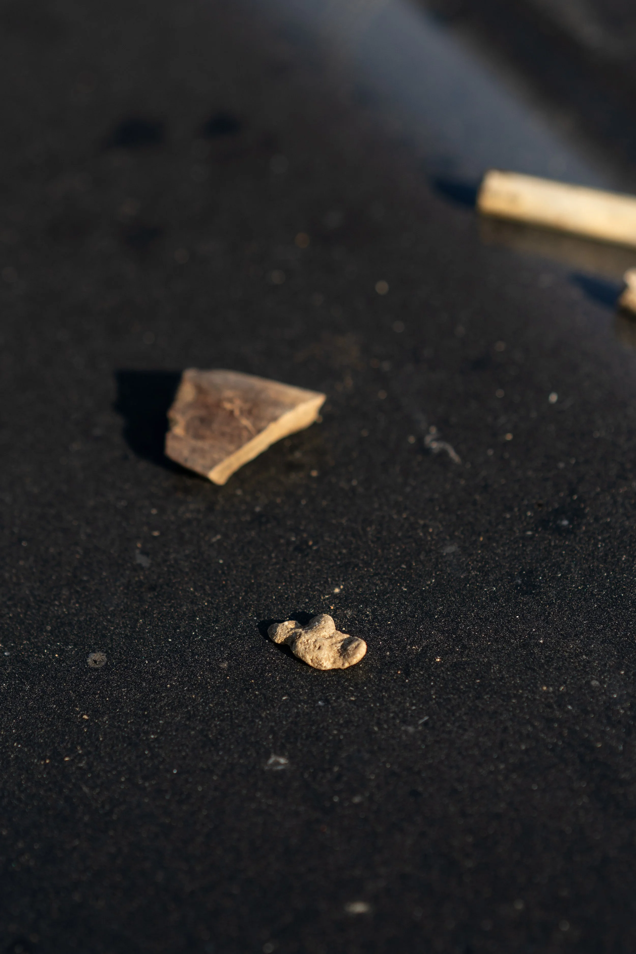
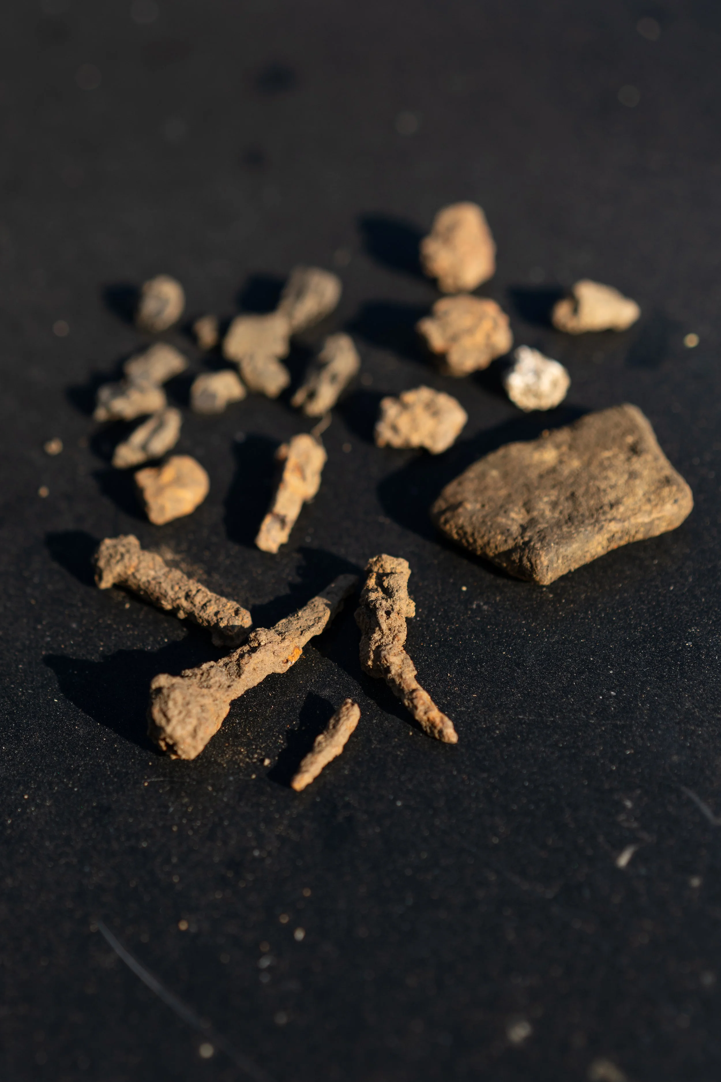
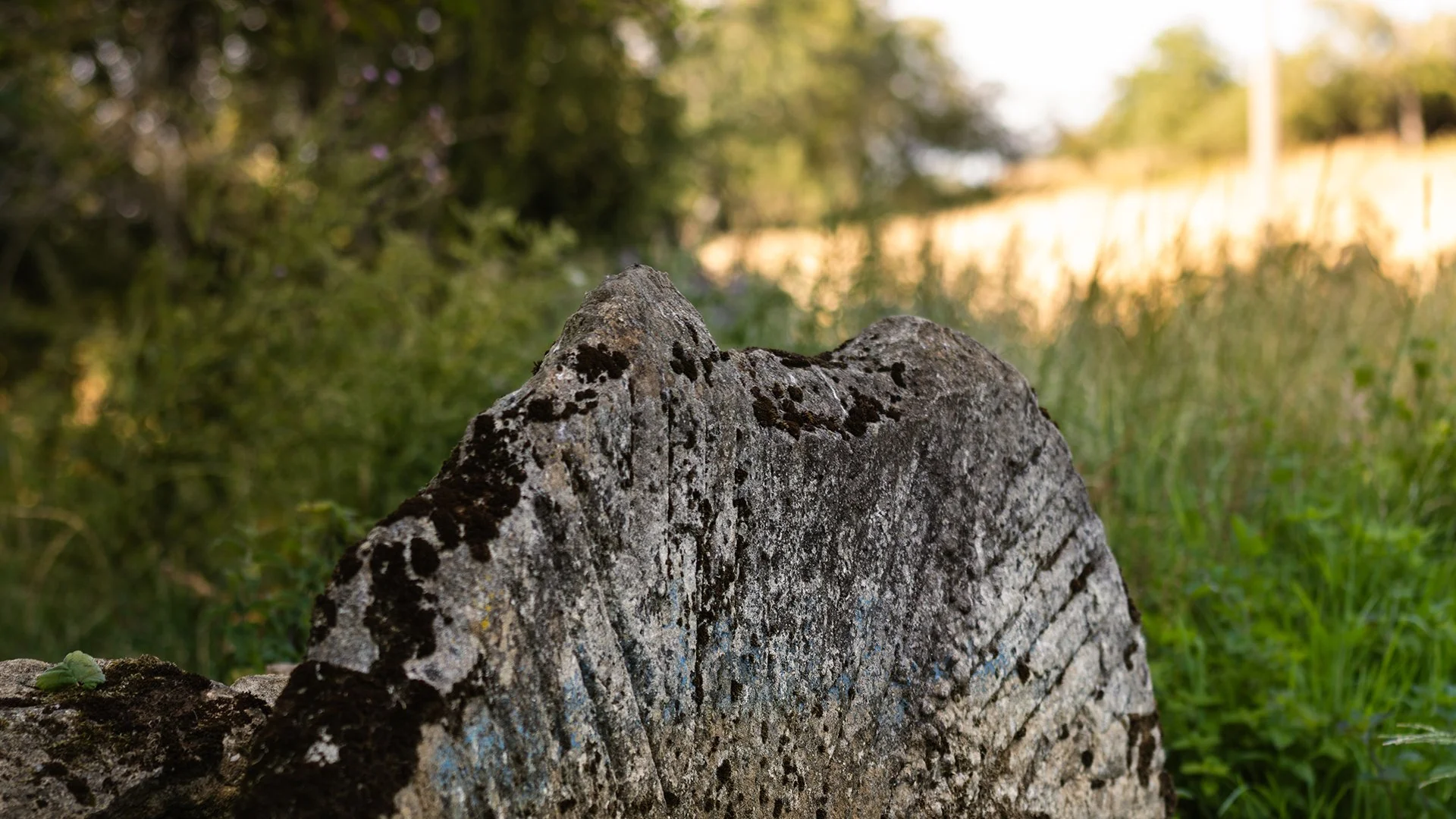
The mill almost certainly dates to the medieval period, evidenced in part by the stone water wheel revealed during rainfall a number of years ago, large sections of cut stone, and the quantity medieval-era iron construction hardware found whilst metal detecting. The valley is a veritable tapestry of medieval strip-lynchet earthworks, that are particularly prominent at sunset and sunrise. Numerous historical records confirm that the population as far exceeding the present day low number of inhabitants and households. We also know that the land upon which the mill sits was the property of Hailes Abbey, and that the Cicsterain monks - who were well-known - systematically acquired the water rights in the valley.
The mill site lies up-valley from - the now similarly ruinous - Hailes Abbey, for those reading this who aren’t familiar with the history of the abbey, I’ll be covering it’s story in greater detail in future pieces. In 1291, Pope Nicholas IV ordered the Taxatio Ecclesiastica, a detailed survey compiled to value all ecclesiastical properties and benefices in England, Wales, and Ireland. The purpose was to levy a 10% papal tax, which King Edward I was authorised to collect to finance a new Crusade to the Holy Land. The records document Hailes Abbey as owning three watermills in the immediate area. Whilst the survey doesn’t detail the exact locations, we know from archeological and anecdotal sources that two sat on the flat plains near the abbey walls, and a third "Upper Mill" Superior Molendinum was nestled deep in the dingle below Farmcote.
We also know that the mill met a sudden and deliberate end in December 1539 during King Henry VIII’s Dissolution of the Monasteries. When Hailes Abbey surrendered, royal commissioners systematically "slighted" the estate. This upland mill was permanently decommissioned. Its valuable lead, heavy iron hardware, and structural oak gears were stripped out for scrap. I’ve found a considerable amount of molten lead in the vicinity, which supports this account. When the Stratford family took over the estate post-dissolution, they abandoned the ruin entirely, choosing to process grain elsewhere. The Stratford family history is a rich, and often at times turmutulous; it’s a story which we’ll cover in more detail in future pieces.
By the time the Hanbury-Tracy family (The Lords of Sudeley) aggressively consolidated the Farmcote estate tenancies in the 1830s and 1840s, the mill would’ve already been a crumbling ruin hidden by dense valley undergrowth for nearly 300 years. This explains its heavily pillaged state, and why it never appeared on the 1847 Tithe Map or later Victorian Ordnance Survey maps, unlike other disused mills in the area. Drystone walling across Farmcote is interspersed with finely cut stone, which almost certainly would’ve originated from the mill and other slighted buildings on the estate. This practice might seem distasteful through , however the repurposing of stonework from high status buildings for comparatively mundane means was commonplace in period.
Whilst I cannot say definitively beyond all doubt that this was the third mill commissioned, built and run by the Cisterian monks at Hailes, there’s an overwhelming amount of evidence to support the hypothesis. I will continue to survey the site and review historic records to further substantiate this claim.